-
-
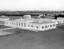
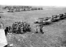
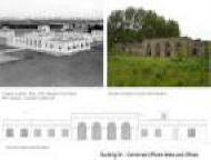
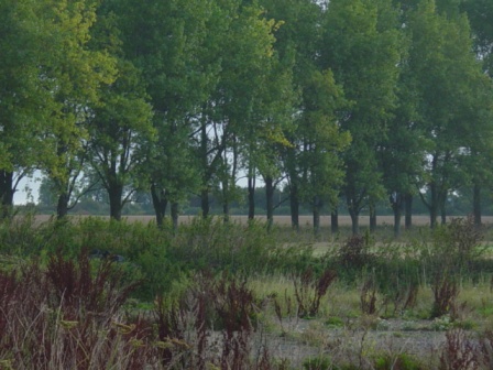
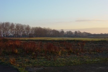
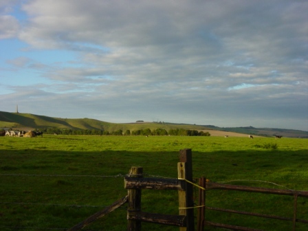
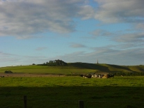
The former
aerodrome lies just to the west of the village of Yatesbury
in open countryside.
It is about 7 km (4m) east of Calne. The main group of
buildings is about 1 km (0.75m)
north of the A4 trunk road between Calne and Avebury. To the
south of the A4, Cherhill
Down rises steeply allowing long distance views over the
surrounding countryside. The
North Wiltshire Rivers Route, a long distance footpath and
part of the National Cycle
Network, runs along the northern boundary of the site.
Access is via Jugglers Lane and a
local access road from a junction on the A4. The aerodrome
lies within the North Wessex
Downs Area of Outstanding Natural Beauty (AONB).
|